

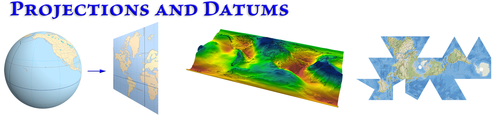
Projections and Datums
Overview
Projections are extremely important in GIS and we need to understand them. They are an integral part of spatial data and we cannot avoid dealing with them! Just the simple fact that the data are "spatial" means that they have to have some sort of coordinates locating them in space, and this implies some coordinate system that they exist in. However, once you understand what they mean and how to use them, they’re really a lot of fun to play with and you use them to create some really interesting cartographic effects.
In this lecture we will learn what it means to project data, why we do it, and how we can choose our projection om such a way as to minimize error in some characteristic that we care about. We will also learn about the underlying geographic coordinate systems (i.e. the curved surface that we are projecting from), and how ArcGIS handles multiple geographic coordinate systems.
Please view the lectures, then work through the lab exercises. If you want it, the original Powerpoint file is available below.
All the lab exercises are presented in the document Projections and Datums: Lecture Notes and Lab Exercises. Remember, the lab exercises are where you really learn the material, so take advantage of them! I'm here and excited to answer any questions you have, or help out if you get stuck on anything. Walk-through videos of all the lab exercises are on the lab exercise videos page.
Lectures and lab videos
Video walk-throughs of all 8 lab exercises
Slides, notes and downloads
Here are notes that tell you what I hope you learn from each slide, and step-by-step instructions on how to do the lab exercises. You need to download this one to do the lab exercises!
This is optional data, offered if you are interested. Click to view or download.
Snyder, J. P., & Voxland, P. M. (1989). An album of map projections (No. 1453). US Government Printing Office.
This is optional data, offered if you are interested. Click to view or download
Snyder, J. P. (1982). Map projections used by the US Geological Survey (No. 1532). US Government Printing Office.