
Advanced ArcGIS Pro Topics
Specialized techniques for land managers and researchers: wildlife home ranges, terrain, watersheds, proximity, interpolation and online maps.
Welcome
GIS is a wonderful and powerful tool, and even a lot of fun once you understand the basics. In this course we'll introduce you to some cool specialized GIS techniques that open up a world of possibilities for land managers and researchers.
If there's any downside to GIS, it's that the tools can be a little confusing to learn. Therefore I'm going to try and remove as much stress from this class as I can. My goal is to not only teach you GIS, but to show you how much fun it can be.
If you'd like to know more about me personally, please feel free to look over the instructor bio. Please get in touch as soon as you get stuck on anything or have any questions.
And if you are brand-new to GIS, and are worried about grappling with an entirely new arena of ideas, tools and concepts, then take a look at the Beginner's Creed at the foot of this page. It's a poem I find gives me a little strength when I take on new things. Remember, we've all been there!
How the course works
- Every module has a document of lecture notes and lab exercises and the original slides; most also have lecture videos and walk-through videos of every lab exercise. Watch the lectures, then work through the labs; the labs are where the material sinks in.
- The lab exercises use ArcGIS Pro; the raster and terrain modules also use the Spatial Analyst extension. The written instructions are step by step, and the walk-through videos show every click.
- The course data used in the lab exercises is one download: Course data (Google Drive). Larger datasets that past students have found useful for their own projects are listed under Extra data.
- The modules can be taken in any order, but they are arranged so that each builds on the ones before it.
- New to ArcGIS Pro? The ArcGIS Pro Fundamentals course covers the interface, data types, selections, projections, editing, geoprocessing and cartography that this course assumes.
Modules
 Wildlife Topics in GIS
2 lectures, 42 min · 4 lab walk-throughs
Module 2
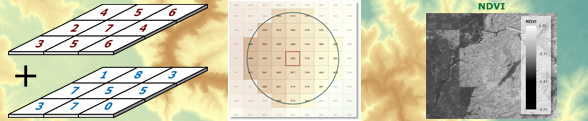 Raster Analysis and Topography
4 lectures, 1 h 22 min · 14 lab walk-throughs
Module 3
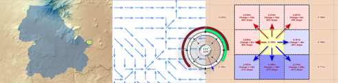 Watersheds and Basic Hydrological Analysis
1 lecture, 17 min · 11 lab walk-throughs
Module 4
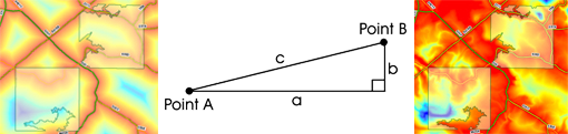 Proximity Analysis
slides and notes
Module 5
 The Recreation Opportunity Spectrum (ROS)
slides and notes
Module 6
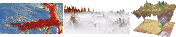 Topographic Roughness
slides and notes
Module 7
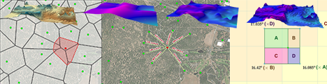 Interpolation
slides and notes
Pay what you can
These courses are open to everyone and offered on a pay-what-you-can basis. If a course is useful to you, a payment of $20 or more per course is suggested; it supports the time that goes into recording, writing and keeping the material online.
Pay what you can with PayPal PayPal link to be added
If you would rather give the money to a good cause, consider a gift to the Lois Engelman Memorial Scholarship Fund at Northern Arizona University instead.
Puzzles, just for fun
A little puzzle that went with the university version of this course. No points here, just the fun of working it out.
The spatial question
Which city is farther west?
- Los Angeles, California
- Reno, Nevada
Show the answer
Reno. It lies at about 119.8° W, Los Angeles at about 118.2° W, so Reno is the one farther west.