

GIS Data Types
Overview
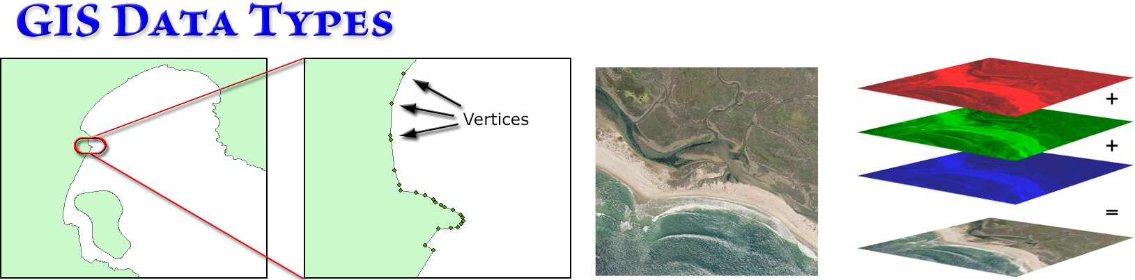
In this module we will explore many of the most common types of spatial data, learn how different formats lend themselves to different types of analysis, and see how GIS systems often work better than simple file explorers when copying, moving and deleting spatial datasets. We'll dive deep into the two most common types of GIS data, Vector and Raster. And we'll also attempt to clarify some of the confusing terminology that permeates ArcGIS.
Please view the lectures, then work through the lab exercises. If you want it, the original Powerpoint file is available below.
All the lab exercises are presented in the document Data Types: Lecture Notes and Lab Exercises. Remember, the lab exercises are where you really learn the material, so take advantage of them! I'm here and excited to answer any questions you have, or help out if you get stuck on anything. Walk-through videos of all the lab exercises are on the lab exercise videos page.
Lectures and lab videos
Video walk-throughs of all 13 lab exercises
Slides, notes and downloads
Here are notes that tell you what I hope you learn from each slide, and step-by-step instructions on how to do the lab exercises. You need to download this one to do the lab exercises!
You will use this list of GIS servers in one your lab exercises, and this document is also available in your Class Data folder, in the sub-folder "Documents". Joseph Elfelt recreates this list every week, and you can find the latest version at https://mappingsupport.com/p/surf_gis/list-federal-state-county-city-GIS-servers.pdf