Wildlife Topics in GIS
Overview
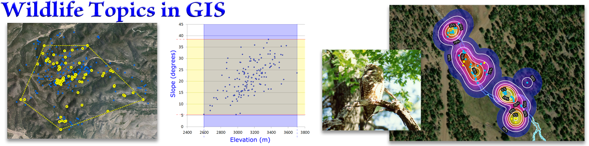
Here we discuss how and why to calculate Environmental Envelopes, Minimum Convex Polygons and Kernel Densities (aka Heat Maps) in ArcGIS Pro. We also look at Mahalanobis Distances, which expands on Environmental Envelopes, and we look at LoCoH (Local Convex Hulls), which overcomes many of the shortcomings of Minimum Convex Hulls. Finally we look at an alternative way to interpret kernel densities, using a Proportion Under the Surface value rather than point density. All these alternative methods require custom programming because they are not available in the standard ArcGIS Pro Toolbox, but they are still cool and worth knowing about.
All the lab exercises are presented in the document Wildlife Topics in GIS: Lecture Notes and Lab Exercises. Remember, the lab exercises are where you really learn the material, so take advantage of them! I'm here and excited to answer any questions you have, or help out if you get stuck on anything. Walk-through videos of all the lab exercises are on the lab exercise videos page.
Lectures and lab videos
Two lectures discussing the three common analytical approaches to wildlife research and management, including Environmental Envelopes, Minimum Convex Polygons and Kernel Densities.
42 Minutes
Slides, notes and downloads
Here is a written discussion that goes with the lecture videos, and step-by-step instructions on how to do the lab exercises. You need to download this one to do the lab exercises!
Optional Reading: Two papers by Getz et al. describing the concept and methods of Local Convex Hulls.