

Land Facet Density
Summary
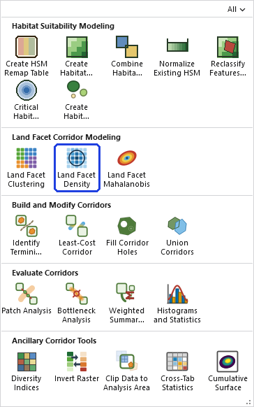
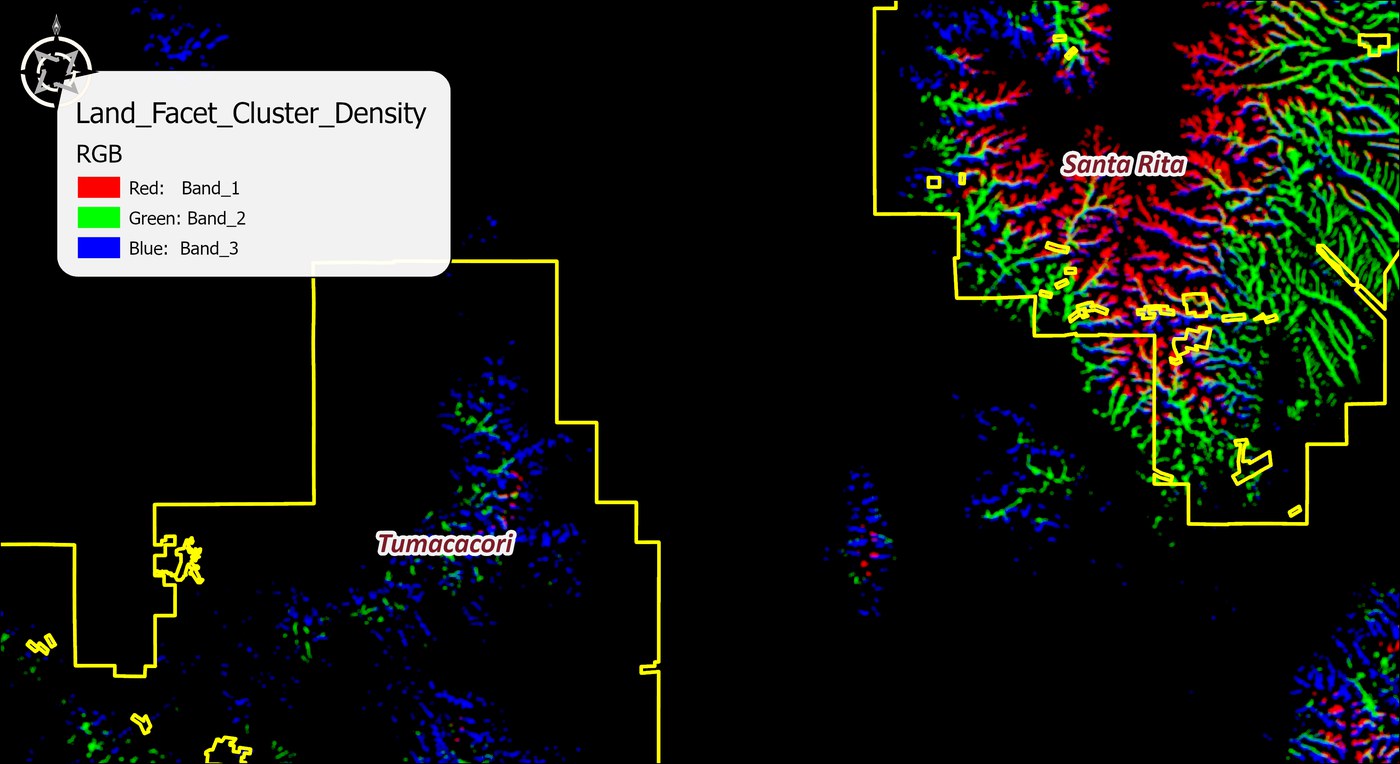
For every land facet in a land facet raster, computes the proportion of the surrounding neighborhood composed of that facet, from 0 to 1. If half the cells around a location belong to Facet X, the density of Facet X there is 0.5. The output is one multi-band raster with a band per facet, computed in a single pass — a 12-facet analysis produces one 12-band raster in one run. Part of the Land Facet Corridor Designer family; no Spatial Analyst needed.
Why density matters
A cell holds exactly one facet, but a corridor needs more than isolated cells of the right type — it needs places where the facet is genuinely abundant. Density measures that abundance, and Brost and Beier use it twice: the highest-density regions inside each Wildland Block become the corridor termini (Identify Termini Polygons reads the bands and their facet labels directly), and density joins the continuous variables in the Mahalanobis cost surface — where its ideal value is pinned at 100% rather than its mean, so the cheapest ground is ground thoroughly surrounded by its own facet.
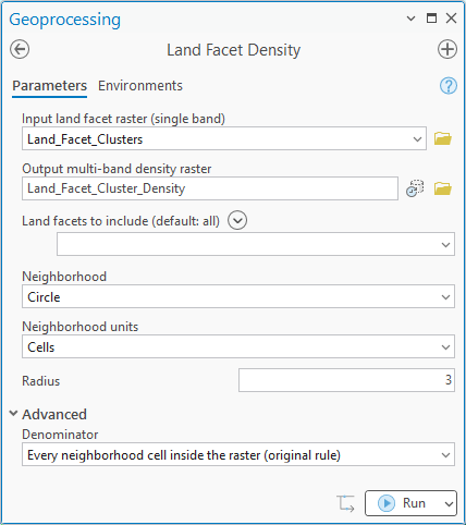
The neighborhood machinery is the suite's full set: rectangle, circle, annulus, wedge, or a custom kernel file, with geodesic handling on geographic rasters, plus a denominator choice for how empty cells count.
A tour of the dialog
The example is Step 3 of the Land Facet Tutorial: the 18-facet raster from Land Facet Clustering, every facet included, a circular neighborhood.
The tool holds the whole raster in memory at once, so the memory it needs grows with the number of cells. On most rasters that is no concern. On a very large one the tool may need more memory than your computer has free, and then one of two things happens: Windows starts using the disk as overflow memory and the tool slows to a crawl, or the tool stops with an out-of-memory error. There is no fixed limit; it depends on how much memory your computer has free. If a raster is too large, clip it to the area you need first.
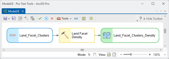
ModelBuilder
Parameters
| Label | Explanation | Data type |
|---|---|---|
| Input land facet rasterRequired · in_raster | The single-band facet raster from Land Facet Clustering. | Raster Layer |
| Output multi-band density rasterRequired · out_raster | One band per facet, 0–1 proportions, facet labels recorded. | Raster Dataset |
| Land facets to includeOptional · facets | Restrict to chosen facets (default all). | String |
| NeighborhoodRequired · neighborhood + shape parameters | Rectangle, circle, annulus, wedge, or kernel file, with the matching size parameters and units; geodesic on geographic rasters. | String + Doubles |
| DenominatorOptional · denominator | How NoData neighbors count in the proportion. | String |
Python
import arcpy
arcpy.ImportToolbox(r"C:\path\to\JennessEnterprisesTools.pyt")  # your install path
arcpy.jenness.LandFacetDensity(
    in_raster=r"D:\lf.gdb\Land_Facets",
    out_raster=r"D:\lf.gdb\Facet_Density",
    neighborhood="Circle", radius=200, nbr_units="Map units")
Recommended citation
Credits and references
By Jeff Jenness, Jenness Enterprises (www.jennessent.com), from the Land Facet Corridor Designer by Jenness, Brost and Beier.
- Beier, P., D. Majka, and J. Jenness. 2007, revised 2026. Designing wildlife corridors with ArcGIS: ArcGIS Pro edition. Workshop book, revised by J. Jenness for the Corridor Designer Tools of the Wildlife and Forestry Tools add-in. Available at: CorridorDesigner_WorkshopBook_2026_ArcGISPro.pdf (5 MB)
- Brost, B. M., and P. Beier. 2012. Use of land facets to design linkages for climate change. Ecological Applications 22:87–103. doi.org/10.1890/11-0213.1
- Jenness, J., B. Brost, and P. Beier. 2013. Land Facet Corridor Designer. Available at: corridordesign.org (archived copy at the Internet Archive)
Licensing information
Works at every ArcGIS Pro license level (Basic, Standard, Advanced). No extension licenses are required.
Related tools and pages
- Land Facet Clustering — produces the facet raster.
- Land Facet Mahalanobis and Identify Termini Polygons — the two consumers of the density bands.
- Land Facet Tutorial — the tool in context.