

Create Habitat Patches
Summary
Turns a habitat suitability model into habitat patch polygons classified by whether each is large enough to matter. A habitat model tells you how good each cell is; it does not tell you whether the good cells add up to a contiguous area large enough to support the species. This tool answers that: the HSM is averaged over a moving window, cells meeting your quality threshold become suitable habitat, touching suitable cells group into patches, and each patch is classed by its geodesic area as too small, a breeding patch (supports at least one breeding event), or a population patch. A modernized port of the CorridorDesigner Patch Configuration tool; no Spatial Analyst needed.
How a cell becomes a patch
First the HSM is averaged over a circular moving window (the mean of the data cells), so a lone bad cell inside good habitat — or a lone good cell in bad — neither fragments nor fabricates patches. The window size is a species decision: the original species files ranged from a 3×3-cell window for small animals to a 200-m circle for wide-ranging ones (the species' perceptual range is the usual guide, as best as we can guess what that is). Cells whose average meets the quality threshold count as suitable; suitable cells touching along edges or corners join into one patch; and each patch's area decides its class.
Reading the output
One polygon per patch: Class 1 “Too small” (below the breeding size), Class 2 “Breeding patch”, Class 3 “Population patch”, each with its hectares, symbolized by class on delivery (dark green population, light green breeding, pale too-small). The run messages report patch counts and total hectares per class, and warn if no patch reaches the population size — worth heeding before corridor modeling, since population patches are the preferred corridor termini. The output carries the source model's analysis record forward for the Corridor Analysis Data Report.
A tour of the dialog
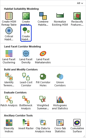
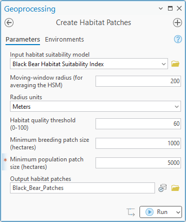
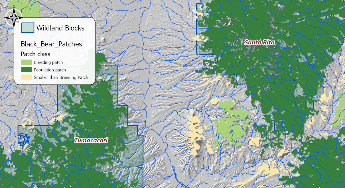
The tool holds the whole raster in memory at once, so the memory it needs grows with the number of cells. On most rasters that is no concern. On a very large one the tool may need more memory than your computer has free, and then one of two things happens: Windows starts using the disk as overflow memory and the tool slows to a crawl, or the tool stops with an out-of-memory error. There is no fixed limit; it depends on how much memory your computer has free. If a raster is too large, clip it to the area you need first.
ModelBuilder
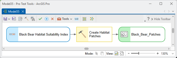
Parameters
| Label | Explanation | Data type |
|---|---|---|
| Input habitat suitability modelRequired · in_hsm | The 0–100 suitability raster. | Raster Layer |
| Moving-window radiusRequired · radius | Radius for averaging the HSM — matched to the species' perceptual range. | Double |
| Radius unitsRequired · radius_units | Cells, Meters (the default), Kilometers, Feet or Miles — mind the choice (200 meters, not 200 cells). | String |
| Habitat quality thresholdRequired · threshold | Averaged cells at or above this 0–100 score count as suitable (60 in the Arizona Missing Linkages standard). | Double |
| Minimum breeding patch sizeRequired · breeding_ha | Geodesic hectares for Class 2. | Double |
| Minimum population patch sizeRequired · population_ha | Geodesic hectares for Class 3. | Double |
| Output habitat patchesRequired · out_fc | The classified patch polygons. | Feature Class |
Python
import arcpy
arcpy.ImportToolbox(r"C:\path\to\JennessEnterprisesTools.pyt")  # your install path
arcpy.jenness.HabitatPatches(
    in_hsm=r"D:\corr.gdb\blackbear_hsm",
    radius=200, radius_units="Meters",
    threshold=60,
    breeding_ha=1000, population_ha=5000,
    out_fc=r"D:\corr.gdb\blackbear_patches60")
Recommended citation
Credits and references
By Jeff Jenness, Jenness Enterprises (www.jennessent.com), ported from the CorridorDesigner tools by Jenness, Majka and Beier.
- Beier, P., D. Majka, and J. Jenness. 2007, revised 2026. Designing wildlife corridors with ArcGIS: ArcGIS Pro edition. Workshop book, revised by J. Jenness for the Corridor Designer Tools of the Wildlife and Forestry Tools add-in. Available at: CorridorDesigner_WorkshopBook_2026_ArcGISPro.pdf (5 MB)
- Beier, P., D. Majka, and J. Jenness. 2007. Designing wildlife corridors with ArcGIS. Workshop book, Northern Arizona University. Available at: corridordesign.org (archived copy at the Internet Archive)
Licensing information
Works at every ArcGIS Pro license level (Basic, Standard, Advanced). No extension licenses are required.
Related tools and pages
- Create Habitat Suitability Model — produces this tool's input.
- Identify Termini Polygons — the patches become corridor termini.
- About Corridor Design — why patches, and how the size thresholds are chosen.
- Corridor Design Tutorial — this dialog and result, in context.